weather forecast
Weather Forecast October 14, 2026: Heavy Rain Alert in 12 States, Strong Winds May Reach 75 Kmph
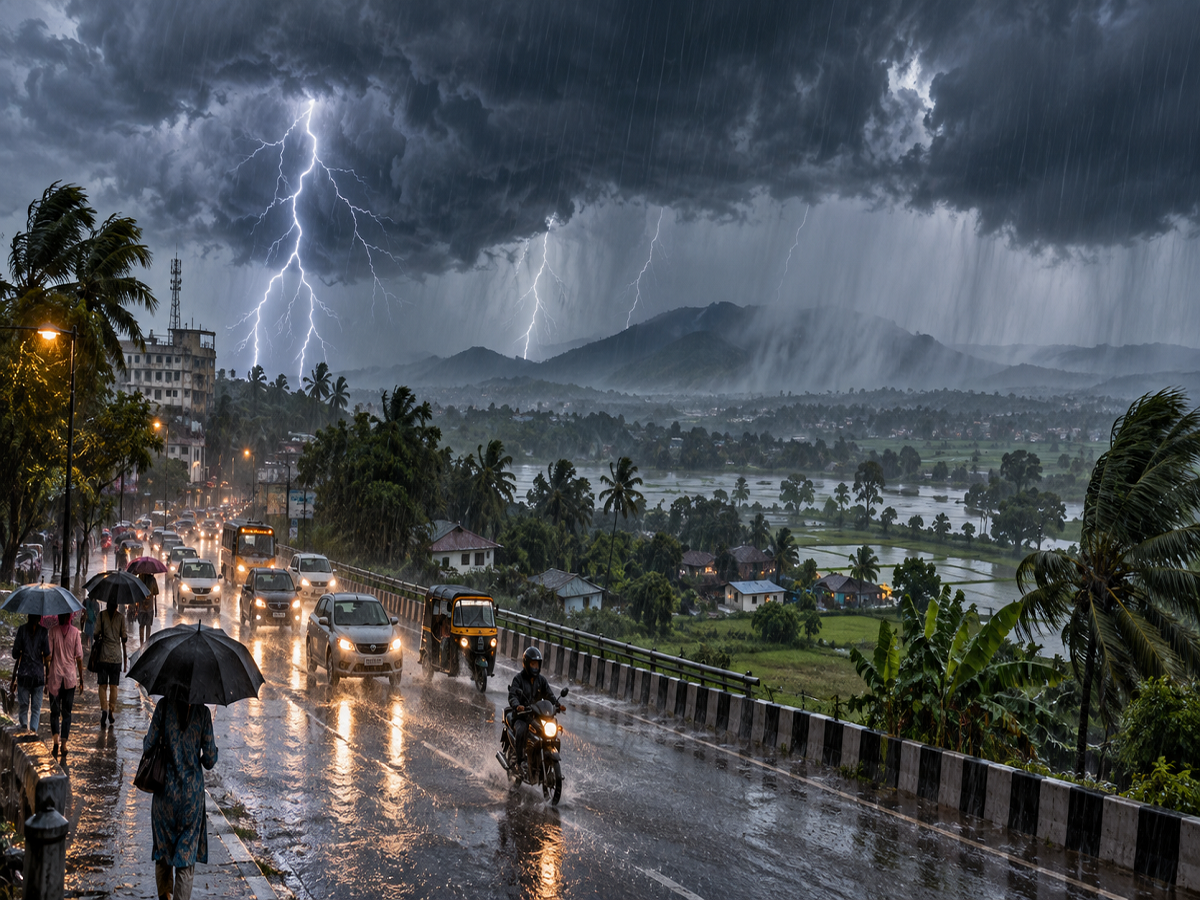
India Weather Update, October 14, 2026: Several parts of India could experience unsettled weather on Wednesday, October 14, with forecasts indicating the possibility of heavy rainfall, thunderstorms, lightning, and strong winds across multiple regions. A weather report citing the India Meteorological Department (IMD) has highlighted rain and storm risks in 12 states and territories, including Delhi, Uttar Pradesh, Bihar, Rajasthan, Uttarakhand, Punjab, and West Bengal.
Wind gusts could reportedly reach speeds of up to 75 kilometres per hour in some affected areas. Meanwhile, mountainous regions may experience a fall in temperatures, with rain, hail, and snowfall possible at higher elevations.
Residents, farmers, commuters, and fishermen have been advised to remain cautious as changing weather conditions could disrupt normal activities.
The forecast covers different regions with varying levels of risk. Heavy rainfall is not necessarily expected in every district of the states mentioned.
Weather Alert for October 14: Which 12 Regions Could Receive Heavy Rain?
The weather report identifies the following 12 states and territories as areas where rain and thunderstorms could affect selected locations:
- Uttar Pradesh
- Delhi
- Bihar
- Rajasthan
- Uttarakhand
- Himachal Pradesh
- Punjab
- Jammu and Kashmir
- Karnataka
- Jharkhand
- West Bengal
- Odisha
Additional rainfall activity is possible in Madhya Pradesh, Chhattisgarh, Andhra Pradesh, Tamil Nadu, Kerala, Puducherry, Tripura, and Nagaland.
The intensity and timing of precipitation may differ considerably between districts.
Although the report refers to a period of intense weather activity, a precise nine-hour warning window has not been independently established from the supplied forecast details.
Why Is the Weather Changing Across India?
The reported weather activity is associated with changing atmospheric conditions during the transition between the southwest and northeast monsoon seasons.
According to the supplied forecast, a cyclonic circulation was present over the southeastern Bay of Bengal, extending into the middle levels of the troposphere.
Another upper-air cyclonic circulation was reported over western Rajasthan and adjoining areas.
These weather systems can influence moisture movement, cloud formation, and rainfall patterns across different parts of the country.
The withdrawal line of the southwest monsoon was also described as passing through locations including Kolkata, Angul, Khammam, and Honnavar.
Together, these conditions may contribute to rainfall and thunderstorms in certain regions, although local forecasts remain essential for assessing the actual risk.
Delhi Weather Forecast for October 14
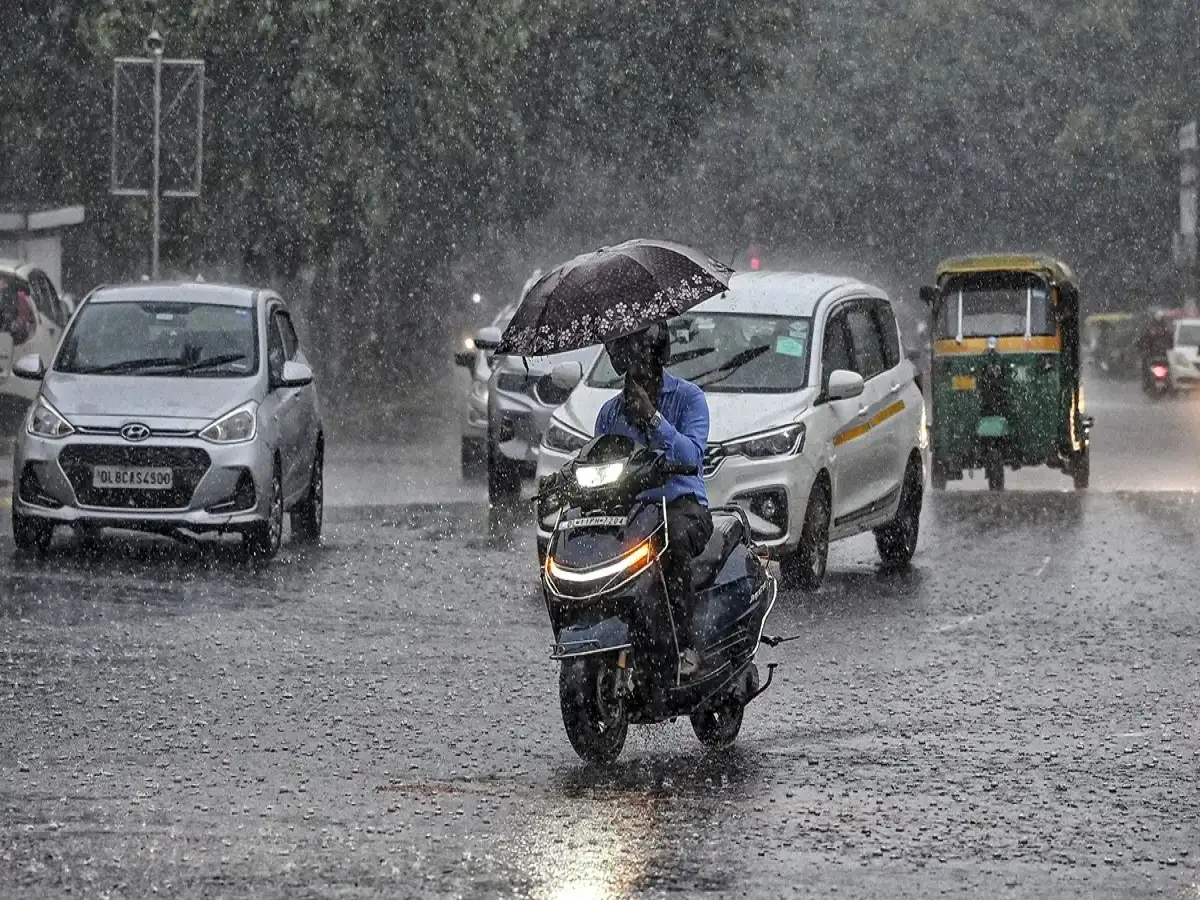
Delhi may experience cloudy conditions, moderate rainfall, and thunderstorms on Wednesday.
The supplied forecast indicates a maximum temperature of approximately 33°C and a minimum of 23°C.
Residents of Delhi-NCR should remain alert to lightning and sudden wind gusts, especially while travelling during periods of thunderstorm activity. Separate reporting also highlights the possibility of isolated hailstorms in the Delhi-NCR region.
Uttar Pradesh Weather: Rain and Winds Up to 50 Kmph
Several districts of Uttar Pradesh have been identified in the reported rain and thunderstorm forecast.
These include Meerut, Ghaziabad, Muzaffarnagar, Moradabad, Bulandshahr, Aligarh, Mathura, Agra, Kanpur, Prayagraj, Gorakhpur, Azamgarh, Jaunpur, Mirzapur, Sonbhadra, Bahraich, and Deoria.
Wind gusts may reach around 50 kmph in some affected locations, according to the supplied report.
Lucknow is expected to record temperatures near 32°C during the day and 22°C at night.
Local rainfall intensity may vary, so district-specific advisories should be checked before travelling.
Bihar Weather: Patna, Gaya and Several Districts Face Thunderstorm Risk
Parts of Bihar could receive rain accompanied by thunderstorms on October 14.
The report identifies Patna, Gaya, Nalanda, Aurangabad, Rohtas, Muzaffarpur, Darbhanga, Madhubani, Samastipur, Purnia, Kishanganj, Supaul, Saharsa, Katihar, and nearby districts as areas of concern.
Strong winds of around 40 kmph are possible in some locations.
Patna's forecast temperature is approximately 32°C during the day and 23°C overnight.
Residents should avoid exposed areas during lightning activity and remain cautious around waterlogged roads.
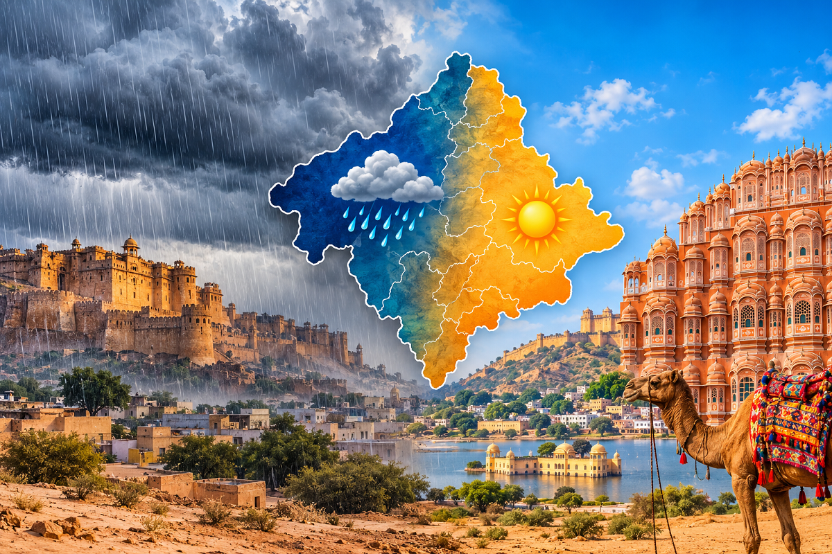
Rajasthan Weather: Jaipur, Sikar and Alwar Among Areas to Watch
Rain and thunderstorms are possible in parts of Rajasthan, according to the supplied forecast.
Districts mentioned include Jaipur, Sikar, Alwar, Jhunjhunu, Bikaner, Hanumangarh, Sri Ganganagar, Kota, Baran, Tonk, Pali, and Udaipur.
Jaipur may record a maximum temperature of around 34°C and a minimum of 23°C.
Farmers should pay attention to local weather updates before irrigation, spraying, harvesting, or storing agricultural produce outdoors.
Uttarakhand Weather: Heavy Rain and Strong Wind Risk in Hill Districts
Uttarakhand may experience unsettled weather in several districts, including Nainital, Rudraprayag, Udham Singh Nagar, Haridwar, Pauri Garhwal, and Bageshwar.
The report indicates possible wind gusts of 50–60 kmph in some areas.
Dehradun's temperatures are forecast near 27°C during the day and 18°C at night.
Heavy rainfall in mountainous terrain can increase the risk of slippery roads, falling debris, and localized landslides.
Travellers heading toward hill stations or pilgrimage destinations should review local weather and road conditions.
Himachal Pradesh and Jammu and Kashmir Weather
Parts of Himachal Pradesh, including Mandi, Kullu, Chamba, Solan, Bilaspur, Kinnaur, Una, and Sirmaur, may experience rainfall and thunderstorms.
Winds could reach approximately 30–40 kmph in affected areas.
Manali may remain particularly cold, with reported forecast temperatures around 7°C during the day and 1°C overnight.
In Jammu and Kashmir, the report identifies Rajouri, Kishtwar, Poonch, Baramulla, Doda, Kathua, Anantnag, and Samba as areas where unsettled weather is possible.
Wind gusts may reach 60 kmph in some locations.
Srinagar is expected to record temperatures of approximately 16°C and 10°C.
Higher elevations could experience wintry precipitation, although snowfall locations and amounts require confirmation through local forecasts.
Jharkhand and West Bengal Weather
Rain and thunderstorms are possible in parts of Jharkhand, including Ranchi, Jamshedpur, Dumka, Jamtara, Sahibganj, Gumla, Palamu, Ramgarh, Khunti, and Hazaribagh.
The supplied forecast suggests wind speeds could reach 60 kmph in some areas.
Ranchi's temperatures are expected to remain around 28°C and 20°C.
In West Bengal, Kolkata, Howrah, Hooghly, Nadia, Malda, Murshidabad, Darjeeling, Jalpaiguri, and North 24 Parganas are among the locations mentioned.
Strong wind gusts could reportedly approach 70 kmph in certain affected areas.
Kolkata's temperature is forecast near 33°C during the day and 25°C at night.
Punjab and Madhya Pradesh Weather Forecast
Punjab may experience thunderstorms and gusty winds in selected areas, including Amritsar, Ludhiana, Jalandhar, Patiala, Pathankot, Gurdaspur, Moga, and Hoshiarpur.
Wind speeds of 55–60 kmph are mentioned in the supplied forecast.
In Madhya Pradesh, districts including Bhopal, Indore, Morena, Sheopur, Dewas, Satna, Umaria, Sidhi, Panna, Jhabua, and Alirajpur may experience rainfall or thunderstorms.
Bhopal's maximum temperature is expected to be approximately 31°C, with a minimum of 21°C.
October 14 Weather: City-Wise Temperature Forecast
| City | Maximum temperature | Minimum temperature |
|---|---|---|
| Delhi | 33°C | 23°C |
| Mumbai | 36°C | 27°C |
| Chennai | 30°C | 27°C |
| Kolkata | 33°C | 25°C |
| Lucknow | 32°C | 22°C |
| Patna | 32°C | 23°C |
| Ranchi | 28°C | 20°C |
| Bhopal | 31°C | 21°C |
| Jaipur | 34°C | 23°C |
| Shimla | 22°C | 13°C |
| Nainital | 22°C | 14°C |
Temperatures are forecast estimates for October 14, 2026, from the supplied report and may change with updated observations.
Weather in Southern and Eastern India
Parts of Andhra Pradesh, Tamil Nadu, Kerala, Odisha, and Karnataka may experience thunderstorms or rainfall as weather systems influence the Bay of Bengal region.
Official IMD warnings issued on October 13 indicate thunderstorms and strong surface winds for coastal Andhra Pradesh on October 14. South Interior Karnataka also has a thunderstorm and lightning warning, while coastal and north interior Karnataka show no warning for that date in the regional bulletin.
This illustrates why state-wide headlines should not be interpreted as warnings covering every district.
Safety Precautions During Heavy Rain and Thunderstorms
People living in areas where severe weather is forecast should follow these precautions:
- Avoid standing under isolated trees or near electricity poles during lightning.
- Stay away from flooded roads and low-lying areas.
- Secure loose objects on rooftops and balconies before strong winds arrive.
- Farmers should protect harvested crops and avoid fieldwork during thunderstorms.
- Fishermen should check official marine advisories before entering the sea.
- Travellers in mountainous regions should monitor road closures and landslide warnings.
Conclusion
The October 14, 2026, weather outlook indicates the possibility of rainfall, thunderstorms, lightning, and strong winds across several parts of India.
Delhi, Uttar Pradesh, Bihar, Rajasthan, Uttarakhand, Himachal Pradesh, Punjab, Jammu and Kashmir, Jharkhand, and West Bengal are among the regions highlighted in the supplied forecast.
However, the claim of widespread heavy rain across all 12 states, a specific nine-hour window, and maximum wind speeds of 75 kmph has not been independently confirmed for every location.
Residents should follow the latest district-level warnings issued by the India Meteorological Department before making travel or outdoor plans.
Disclaimer: Weather forecasts are subject to change. Rainfall intensity, wind speed, and temperature estimates may differ from actual conditions. Official district-wise IMD bulletins should be treated as the primary source for weather warnings.