weather forecast
IMD Weather Alert October 8: Rain and Thunderstorms Forecast Across 16 States, Strong Winds May Reach 75 Kmph
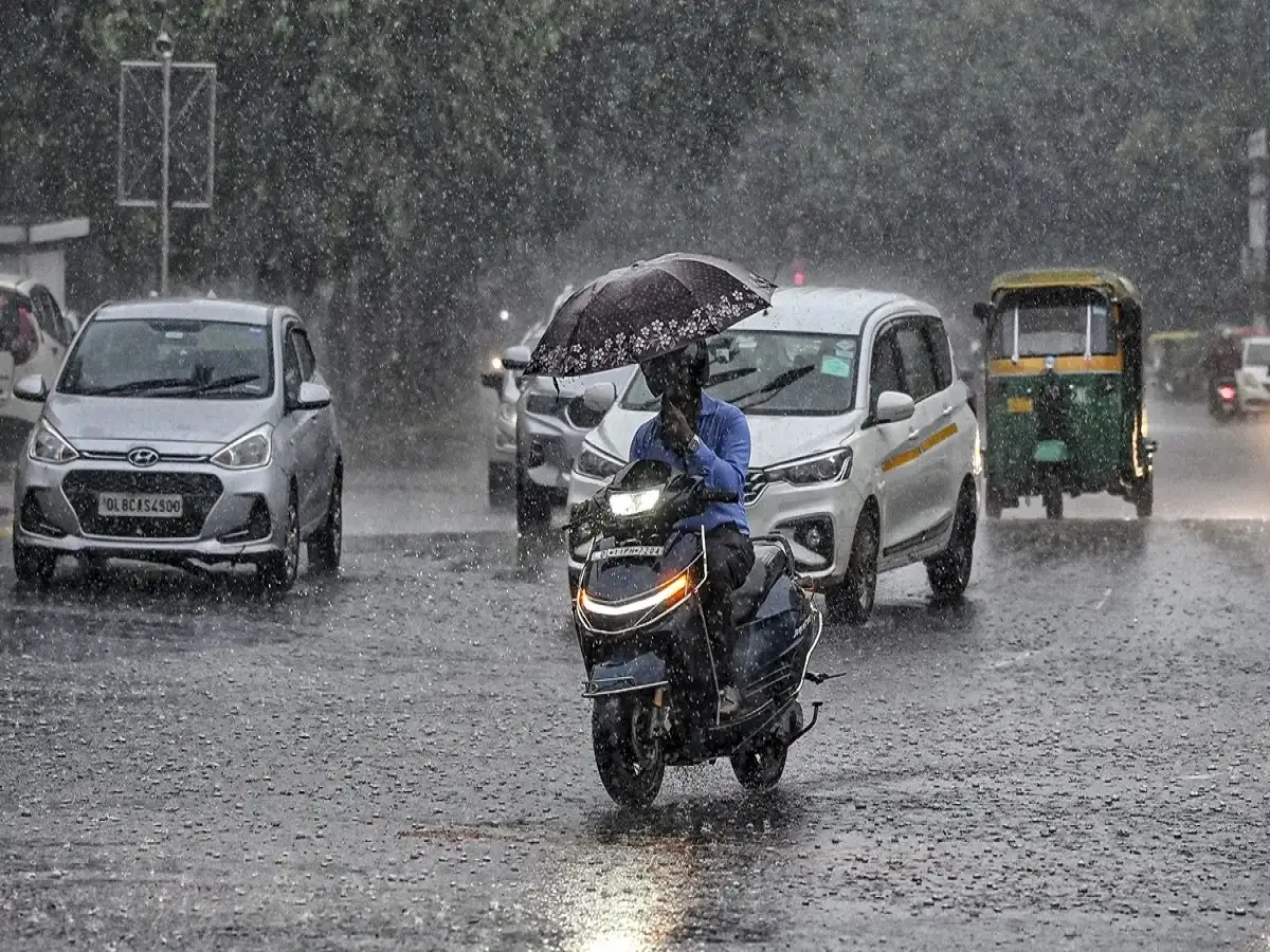
India Weather Update, October 8, 2026: Even as the southwest monsoon retreats from several parts of India, unsettled weather conditions continue to affect different regions. Rainfall, thunderstorms, lightning and gusty winds remain concerns in parts of northern, eastern, central and southern India.
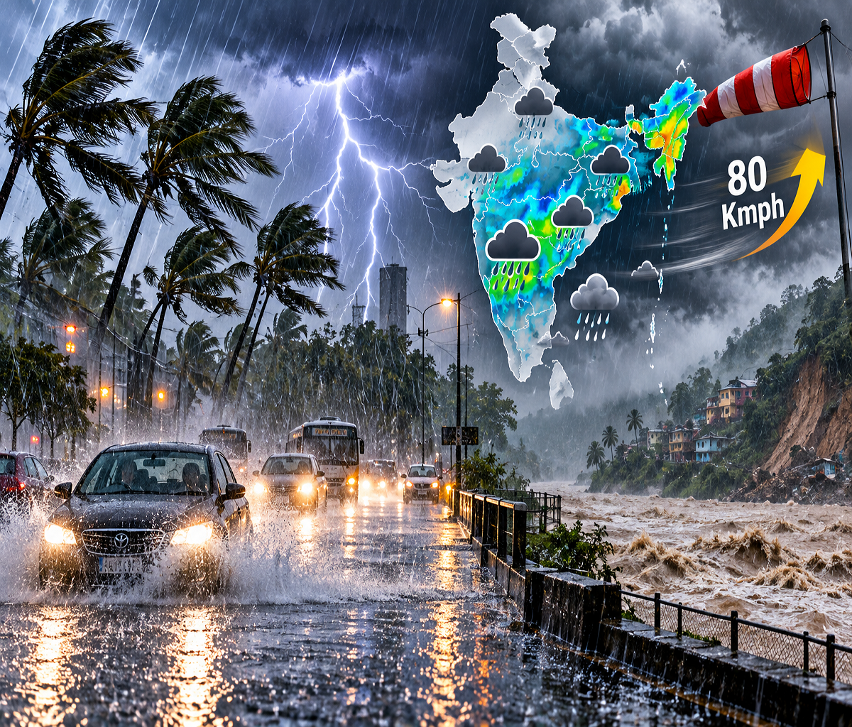
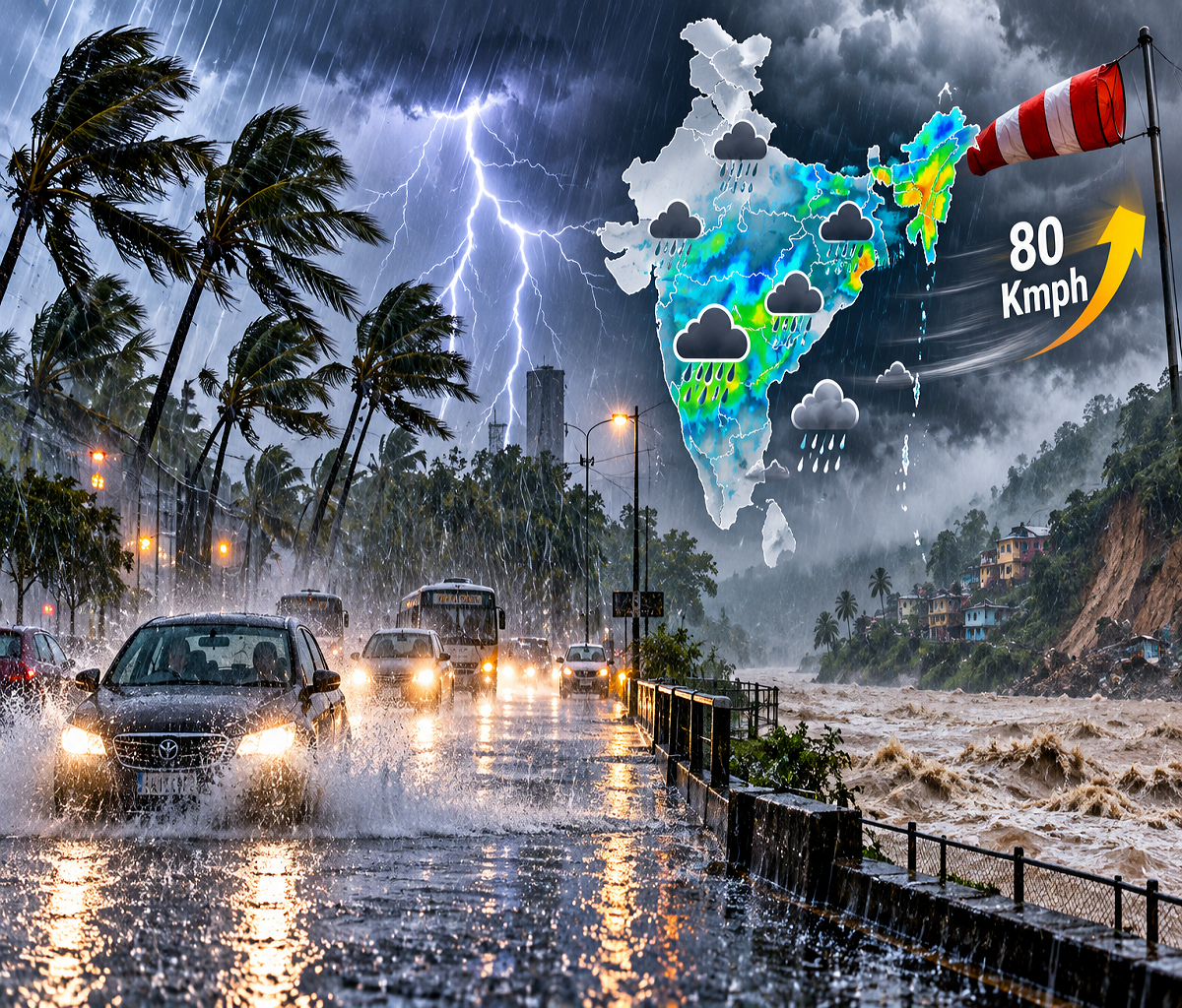
According to a weather report citing the India Meteorological Department (IMD), several areas across 16 states and Union Territories could experience rain or thunderstorms on October 8. Wind speeds may reach 70–75 kmph in some locations, potentially affecting standing crops, trees, temporary structures and outdoor activities.
The report also describes multiple upper-air cyclonic circulations influencing weather conditions, including a system near coastal Odisha and the adjoining northwest Bay of Bengal.
However, the possibility of rainfall does not mean every district in the listed states will experience heavy rain. Weather intensity can differ considerably between locations, and residents should follow district-specific forecasts.
Rain and Thunderstorm Forecast for 16 States and Union Territories
The weather report identifies the following areas as potentially affected by rainfall, thunderstorms or strong winds.
| Region | States and Union Territories |
|---|---|
| Northern India | Uttar Pradesh, Delhi, Punjab, Haryana |
| Northwestern India | Rajasthan |
| Himalayan Region | Uttarakhand, Himachal Pradesh, Jammu and Kashmir |
| Eastern India | Bihar, Jharkhand, West Bengal, Odisha |
| Central India | Madhya Pradesh, Chhattisgarh |
| Southern India | Andhra Pradesh, Tamil Nadu |
Some locations may experience thunderstorms accompanied by gusty winds, while others could receive light or moderate rainfall.
The possibility of stronger winds is particularly important for farmers and people living in areas with vulnerable structures.
Although the source report mentions wind speeds approaching 75 kmph, it does not establish that such conditions are expected uniformly across all 16 regions.
Bay of Bengal Weather System May Influence Eastern India
One of the important weather features described in the report is an upper-air cyclonic circulation over southern coastal Odisha and the adjoining northwest Bay of Bengal.
Such atmospheric circulations can support cloud formation, moisture movement and thunderstorm development when other meteorological conditions are favourable.
The system may influence weather patterns over Odisha and neighbouring parts of eastern and central India.
West Bengal, Chhattisgarh and Andhra Pradesh are among the areas mentioned in connection with possible thunderstorms and gusty winds.
Lightning is another concern during these weather conditions, particularly for people working in open fields or travelling through exposed locations.
Residents should avoid sheltering beneath isolated trees during thunderstorms and move indoors when lightning activity develops.
Snowfall Possible in Higher Himalayan Areas
Apart from rainfall in the plains, the supplied forecast also mentions the possibility of snowfall in three mountainous regions.
Higher-altitude locations may experience colder conditions and precipitation, depending on local temperatures and atmospheric activity.
Travellers planning journeys through Himalayan roads should remain attentive to changing weather conditions.
Rainfall and snowfall can affect visibility, road surfaces and travel arrangements in mountainous terrain.
People visiting landslide-prone locations should also monitor advisories issued by local administrations and disaster management authorities.
The source report does not identify the exact three snowfall-affected regions or provide district-level snowfall predictions.
Other Cyclonic Circulations Affecting Weather Conditions
Besides the Bay of Bengal system, the source report identifies additional upper-air circulations over southern Haryana, southeastern Uttar Pradesh and northern Tamil Nadu.
These systems may contribute to unstable atmospheric conditions in their respective regions.
However, the presence of a cyclonic circulation does not automatically indicate that a cyclonic storm will develop. The two are different meteorological phenomena.
Delhi Weather on October 8: Temperature and Rainfall Outlook
The supplied report forecasts possible rain and thunderstorms in Delhi, with winds around 30 kmph.
The estimated maximum temperature is 33°C, while the minimum is expected to remain near 23°C.
However, there is an important distinction between a possibility of showers and an official severe-weather warning. The IMD's October 8 subdivision bulletin lists no warning for Haryana, Chandigarh and Delhi for that day.
Residents should therefore check the latest local forecast before assuming that severe thunderstorms are imminent.
Uttar Pradesh Weather: Districts Mentioned in Rain Forecast
The source report identifies several Uttar Pradesh districts where rainfall or thunderstorms could occur.
These include Ghaziabad, Meerut, Agra, Mathura, Kanpur, Bijnor, Saharanpur, Muzaffarnagar, Pilibhit, Rampur, Bareilly, Lakhimpur Kheri, Sitapur, Bahraich, Barabanki, Jaunpur, Ghazipur, Chandauli, Sultanpur, Azamgarh, Mirzapur, Sonbhadra, Basti, Kaushambi, Ballia, Fatehpur, Raebareli, Mau, Prayagraj, Gorakhpur and Mainpuri.
The report suggests that winds could reach approximately 40–50 kmph in some areas.
These are forecast possibilities rather than confirmation that every listed district will experience rainfall.
Lucknow Weather Forecast
For Lucknow, the report provides an expected maximum temperature of around 31°C and a minimum of approximately 26°C on October 8.
Residents should monitor updated forecasts because temperatures, rainfall timing and wind conditions can change during the day.
Where Has IMD Confirmed Weather Warnings?
Official IMD regional warning pages checked for October 8 provide a more specific picture than the broad 16-region claim.
Tamil Nadu and Puducherry: Heavy rain and thunderstorm warnings were listed for October 8.
Coastal Andhra Pradesh and Rayalaseema: Thunderstorm, lightning and strong surface wind warnings were listed.
Sub-Himalayan West Bengal and Sikkim: Heavy rain and thunderstorm warnings were listed.
- Rajasthan: No warning was listed for eastern or western Rajasthan on October 8.
These official updates show why it is important to distinguish a nationwide weather overview from an actual warning for a particular location.
Safety Precautions During Heavy Rain and Lightning
People living in areas with active thunderstorm warnings should take reasonable precautions, especially when travelling or working outdoors.
Avoid standing beneath isolated trees, near electricity poles or in open fields during lightning. Do not attempt to cross flooded roads, and keep away from damaged electrical infrastructure.
Farmers should consider protecting harvested produce and securing lightweight agricultural equipment when strong winds are forecast.
Travellers should follow local advisories, particularly in mountainous areas where heavy precipitation may affect road conditions.
Final Takeaway
Weather conditions remain unsettled across several parts of India on October 8, 2026, with rainfall, thunderstorms and gusty winds possible in different regions.
The supplied report mentions 16 states and Union Territories and wind speeds of up to 75 kmph. However, the exact 13-hour timeframe and a uniform heavy-rain warning for all 16 regions could not be independently confirmed from the official IMD bulletins reviewed.
For reliable, location-specific warnings, readers should consult the India Meteorological Department's official website and follow local administration advisories.
Disclaimer: Weather forecasts are subject to change. This article distinguishes the supplied media report from independently checked IMD regional warnings available for October 8, 2026.