weather forecast
Weather Alert Today: Heavy Rain, Thunderstorms and Strong Winds Forecast Across Several States on August 26
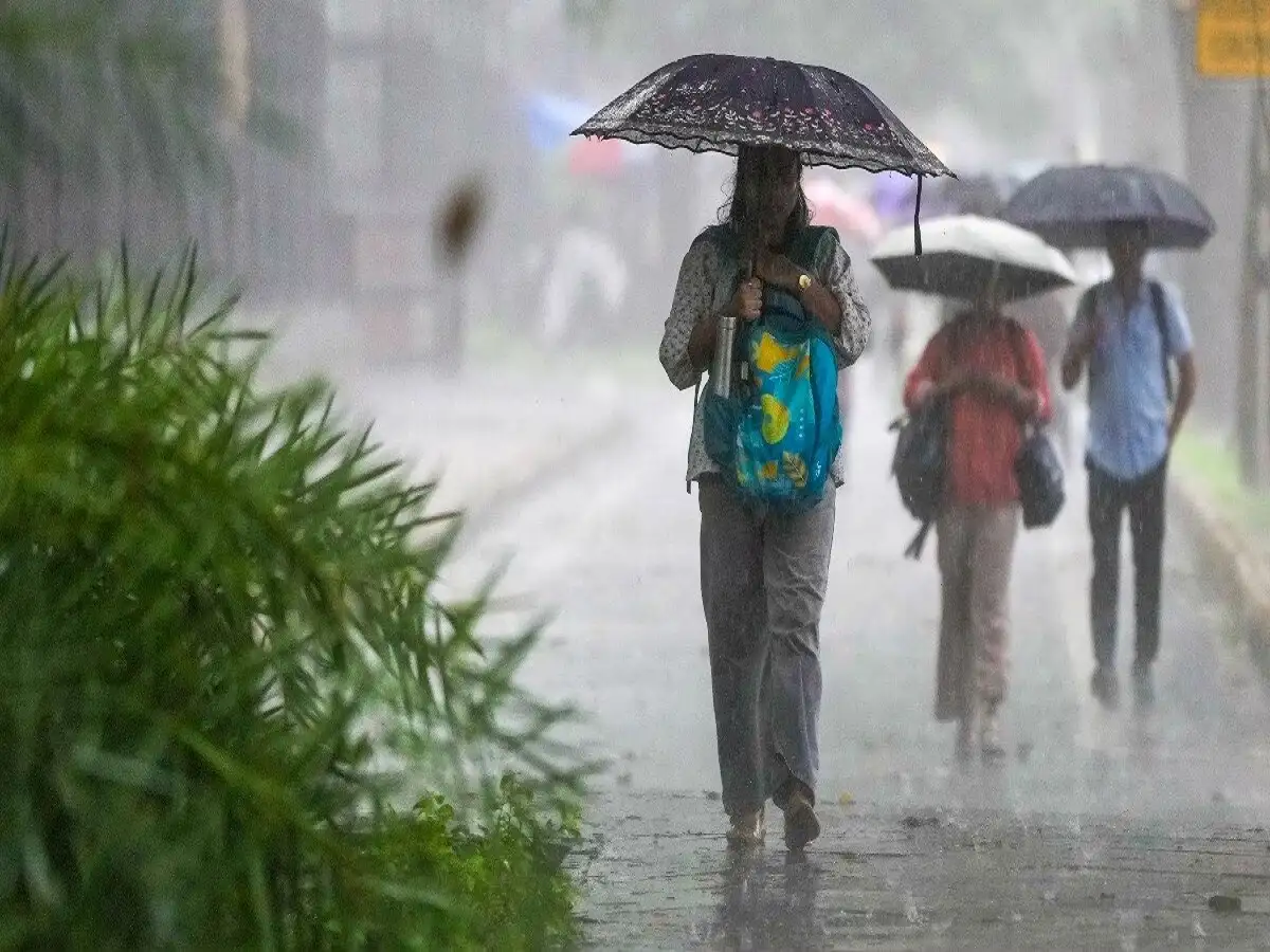
The monsoon has become active again across large parts of India, bringing the possibility of heavy rainfall, thunderstorms and strong winds on August 26, 2026. Weather conditions are expected to remain unsettled across several regions, including parts of north, central, eastern, southern and northeastern India.
Delhi, Uttar Pradesh, Bihar, Rajasthan, Madhya Pradesh, Chhattisgarh and several northeastern states are among the areas where rainfall is expected. Some locations could also experience thunderstorms accompanied by gusty winds.
The changing weather pattern is being influenced by multiple atmospheric systems, including a low-pressure area around Jharkhand, an active monsoon trough and cyclonic circulation over parts of the Northeast.
People living in areas expecting intense rainfall or thunderstorms should keep track of official local weather warnings, particularly before travelling.
Rain Forecast Across More Than 20 States and UTs
Rainfall is expected across a large part of the country on August 26.
According to the forecast details cited in the report, rain may affect Delhi, eastern Uttar Pradesh, Bihar, eastern Madhya Pradesh, Chhattisgarh, eastern Rajasthan, Himachal Pradesh, Uttarakhand, Odisha, Meghalaya, parts of Karnataka, Kerala, Maharashtra, West Bengal, Assam, Arunachal Pradesh, Nagaland, Manipur, Mizoram, Tamil Nadu, Telangana and Puducherry.
Rainfall intensity is unlikely to be uniform across these regions. While some areas may experience moderate showers, isolated locations could receive heavier spells.
Thunderstorms and strong winds may accompany rain in some districts.
Residents should therefore follow district-specific forecasts and warnings rather than assuming that conditions will be identical across an entire state.
Low-Pressure Area Near Jharkhand May Intensify Rainfall
A key weather system influencing the current spell is a low-pressure area around Jharkhand and adjoining regions.
According to the information provided, the system was earlier active around the Gangetic plains and northern Odisha and is expected to influence rainfall over nearby states as it moves.
Its impact could increase rainfall over Jharkhand while also supporting heavy showers over eastern Uttar Pradesh, eastern Madhya Pradesh and Chhattisgarh.
The system is expected to move in a west-northwest direction.
Parts of Uttar Pradesh and Bihar could consequently continue experiencing wet weather over the next few days.
Monsoon Trough and Cyclonic Circulation Remain Active
The low-pressure system is not the only factor affecting the weather.
The monsoon trough is also playing a role. Its western end is positioned north of its normal location, while other portions remain around their typical seasonal position.
A cyclonic circulation is active at lower atmospheric levels over Assam and adjoining northeastern areas, which can support continued rainfall across parts of the Northeast.
The report also refers to a trough associated with a western disturbance, adding another component to the broader weather pattern.
Together, these systems are contributing to unstable conditions across different parts of the country.
Delhi Weather Today: Rain and Gusty Winds Expected
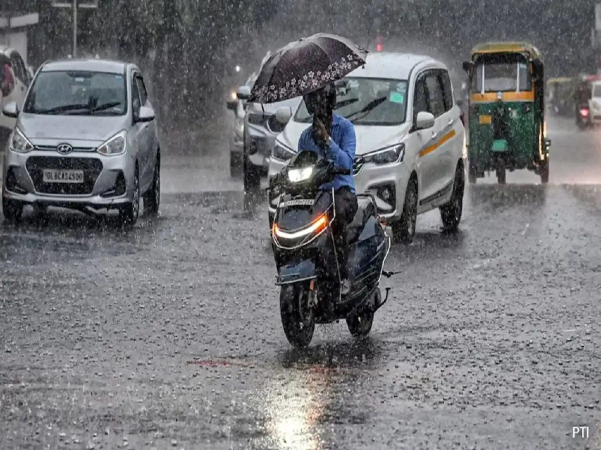
Delhi is expected to witness another wet day, with rainfall forecast across several parts of the national capital.
Areas mentioned in the forecast include Central Delhi, East Delhi, New Delhi, North Delhi, Northeast Delhi, Northwest Delhi, Shahdara, South Delhi, Southeast Delhi, Southwest Delhi and West Delhi.
The maximum temperature is expected to remain around 34°C, while the minimum could be approximately 28°C.
Wind speeds could reach around 40 km/h in some areas.
Periods of heavier rainfall may lead to water accumulation on roads and slower traffic, particularly in low-lying areas. Commuters should allow additional travel time if intense showers occur during peak hours.
Uttar Pradesh May See Thunderstorms and Strong Winds
A large number of districts in Uttar Pradesh are also expected to experience unsettled weather.
Rain alerts have been mentioned for Ambedkar Nagar, Amethi, Ayodhya, Azamgarh, Baghpat, Ballia, Banda, Basti, Chandauli, Chitrakoot, Deoria, Ghazipur, Gonda, Gorakhpur, Hamirpur, Jaunpur, Jhansi, Kushinagar, Mahoba, Mau, Meerut, Muzaffarnagar, Pratapgarh, Sant Kabir Nagar, Shamli, Sultanpur and Varanasi.
Some locations may experience strong winds reaching approximately 60–65 km/h, according to the forecast cited in the report.
For Lucknow, the maximum temperature is expected to be around 31°C, with the minimum near 27°C.
People travelling through areas experiencing thunderstorms should be particularly careful on highways and exposed roads, where sudden strong winds and intense rain can sharply reduce visibility.
Rajasthan Weather: Rain Alert for Jaipur and Several Districts
Rain and thunderstorms are also forecast across several districts of Rajasthan.
The areas mentioned include Churu, Pali, Baran, Rajsamand, Udaipur, Bikaner, Jaipur, Sri Ganganagar, Karauli, Deeg, Jhalawar, Chittorgarh, Balotra, Kota, Hanumangarh and Bharatpur.
Some districts could experience gusty winds reaching around 60 km/h.
Residents should remain cautious around trees, temporary structures, electricity poles and other objects that may become dangerous during strong winds.
Heavy rainfall can also cause localised waterlogging, particularly in urban areas with poor drainage.
Why Strong Winds Make Thunderstorms More Dangerous
Rain is not the only concern during an intense monsoon spell.
Strong gusts can bring down weak tree branches, damage temporary structures and affect power lines. Thunderstorms also carry a lightning risk, making open spaces unsafe when lightning activity is nearby.
Motorists can face additional difficulties because intense rainfall reduces visibility and increases the risk of water accumulation on roads.
Drivers should reduce speed, maintain a greater distance from the vehicle ahead and avoid attempting to cross deeply flooded stretches where the road surface cannot be seen.
Safety Precautions During Heavy Rain and Thunderstorms
People in affected areas should keep checking official weather and local administration alerts throughout the day, as conditions can change quickly.
Avoid standing under trees during thunderstorms because branches can break during strong winds. Stay away from electricity poles, damaged structures and exposed open areas when lightning is occurring.
If driving through heavy rain, reduce speed and use headlights appropriately to improve visibility. Never enter a flooded road if the depth or current cannot be safely assessed.
Outdoor activities should be postponed when severe thunderstorms are approaching.
Fishermen and people involved in marine activities should also follow official advisories before venturing into the sea during adverse weather conditions.
Keep Checking Local Weather Alerts
The weather outlook for August 26, 2026 indicates widespread monsoon activity across several parts of India, but the severity of rain, thunderstorms and wind can vary considerably from one district to another.
With a low-pressure system, the monsoon trough and other atmospheric circulations influencing the weather simultaneously, some areas could experience sudden periods of intense rainfall.
Residents in Delhi, Uttar Pradesh, Rajasthan and other affected states should monitor the latest district-level advisories and follow instructions issued by weather authorities and local administrations, especially where warnings for heavy rain, lightning or strong winds are in force.