weather forecast
Weather Update: Rain and Thunderstorms Likely in Several States as Monsoon Activity Continues
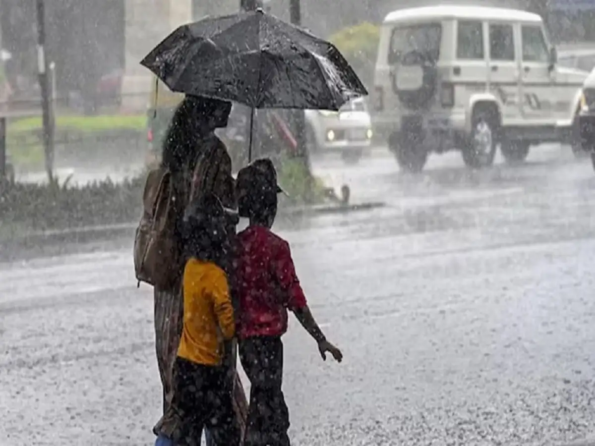
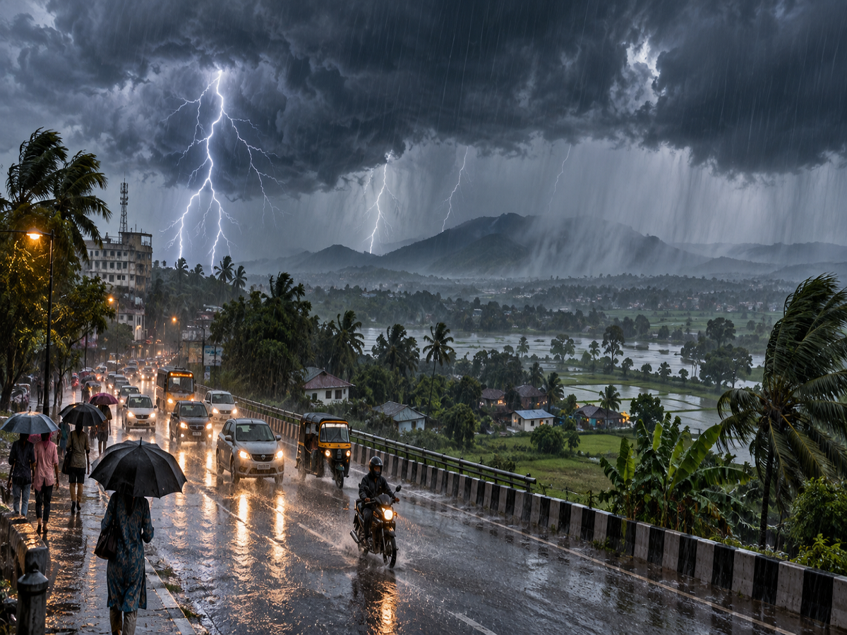
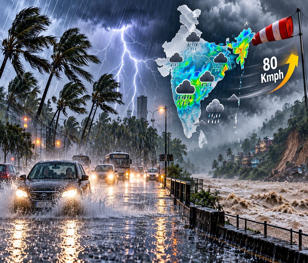
Weather conditions remain unsettled across several parts of India as the southwest monsoon moves through its late-September phase. Rain, thunderstorms and gusty winds may continue to affect parts of northern, central, eastern and peninsular India, although the intensity and location of rainfall are expected to vary considerably from one region to another.
The India Meteorological Department (IMD) has been closely monitoring weather systems influencing rainfall across the country. Recent official updates highlighted a depression over northeast Madhya Pradesh and adjoining north Chhattisgarh, which contributed to an intense spell of rainfall over parts of northern and central India during September 26 and 27.
As weather systems continue to evolve, residents should check the latest district-level forecasts before travelling, particularly in mountainous regions and places vulnerable to waterlogging.
Weather Systems Continue to Influence Rainfall
According to the IMD, a depression over northeast Madhya Pradesh and adjoining north Chhattisgarh played an important role in the recent spell of intense rainfall.
The weather department had forecast heavy to very heavy rainfall over Uttarakhand on September 26 and 27. Northern Uttar Pradesh was also expected to experience very heavy to extremely heavy rainfall at isolated locations on September 26, while parts of southern Uttar Pradesh were placed under a heavy to very heavy rainfall forecast for the same day.
By September 27, the IMD's latest highlighted warning was focused on isolated heavy to very heavy rainfall over Uttarakhand and West Uttar Pradesh for that day.
This is important because weather warnings can change quickly as a depression weakens, moves or interacts with other atmospheric systems.
Uttar Pradesh Forecast Needs Careful Attention
The original report listed a large number of Uttar Pradesh districts under a heavy-rain alert for September 28. However, the IMD subdivision-wise warning issued on September 26 showed a different picture.
For East Uttar Pradesh, the department listed extremely heavy rainfall and thunderstorm-related conditions for September 26, followed by heavy rain on September 27. It showed no warning for September 28 in that particular forecast.
Similarly, West Uttar Pradesh had an extremely heavy rain warning for September 26 and a very heavy rain warning for September 27, but no warning was listed for September 28 in the same bulletin.
That does not necessarily mean every location would remain completely dry. Localised showers or thunderstorms can still occur even when a subdivision is not under a heavy-rain warning. Residents should therefore distinguish between a general rainfall forecast and an official heavy-rain alert.
Delhi Residents Should Watch Local Forecasts
Delhi and the National Capital Region can experience rapidly changing weather during the withdrawal phase of the monsoon.
Cloud cover, isolated showers or thunderstorms may develop depending on the movement of surrounding weather systems. Instead of relying on a single statewide or national forecast, commuters should monitor short-range and nowcast updates before leaving home.
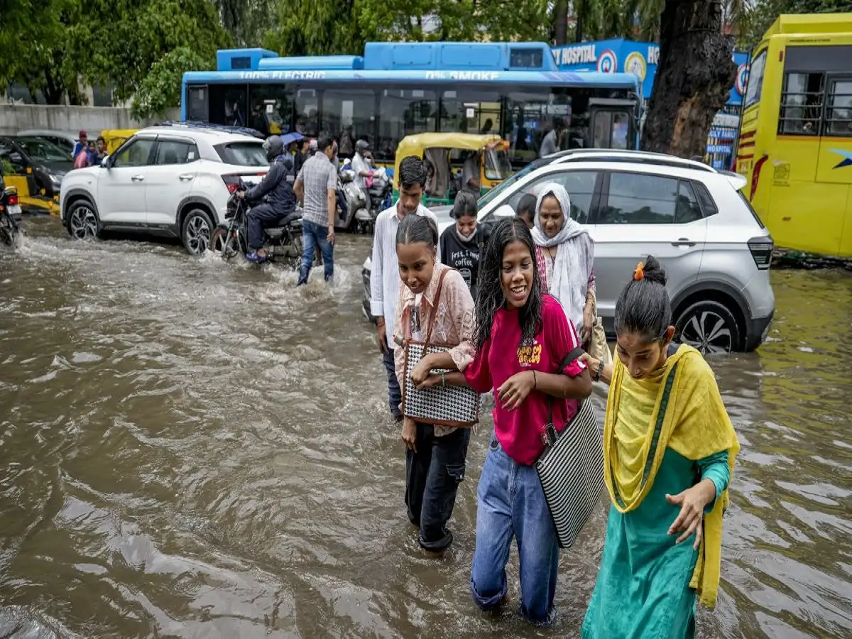
Periods of intense rain can temporarily reduce visibility, slow traffic and cause waterlogging in low-lying areas. Drivers should reduce speed during heavy showers and avoid attempting to cross flooded roads.
Rajasthan Could See Localised Weather Activity
Parts of Rajasthan can also experience late-monsoon rainfall and thunderstorms as weather systems move across central and northwestern India.
Cities and districts including Jaipur, Kota, Ajmer, Udaipur, Bharatpur and surrounding regions may see changing cloud and rainfall conditions depending on local atmospheric developments.
However, rainfall forecasts should not automatically be interpreted as a statewide heavy-rain warning. Conditions can differ sharply between districts, and IMD alerts are regularly revised as new observations become available.
People planning outdoor activities or road journeys should check the latest district-level warning rather than relying only on an earlier forecast.
Extra Caution Needed in Himalayan States
Weather conditions require particular attention in Uttarakhand and other Himalayan areas because prolonged or intense rainfall can increase the risk of landslides, falling rocks and temporary road closures.
The IMD's September 27 release specifically warned of isolated heavy to very heavy rainfall over Uttarakhand that day.
Travellers heading into mountainous areas should check road conditions and advisories issued by local authorities before beginning their journey.
Avoiding swollen streams, landslide-prone slopes and flooded stretches of road is particularly important during and immediately after intense rainfall.
Why Weather Alerts Can Change Quickly
Forecasts issued several days in advance are continually updated as meteorologists receive new satellite observations, radar information and numerical weather-model guidance.
A region placed under a warning one day may have that warning reduced or removed in a later bulletin if the responsible weather system weakens or changes direction. Conversely, new warnings can be introduced when conditions become more favourable for intense rainfall.
For this reason, readers should pay close attention to the date and time of issue when checking any weather alert.
The safest approach during an unsettled spell is to follow the latest IMD forecast and local administration advisories, especially before travelling through areas experiencing thunderstorms, heavy rainfall, flooding or landslide risk.