weather forecast
Weather Alert for September 3: Heavy Rain Forecast in 19 States, Strong Winds May Reach 70 Kmph
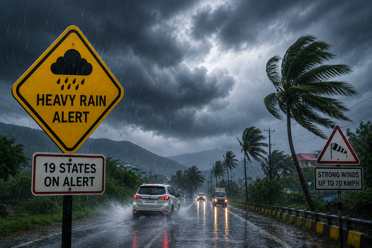
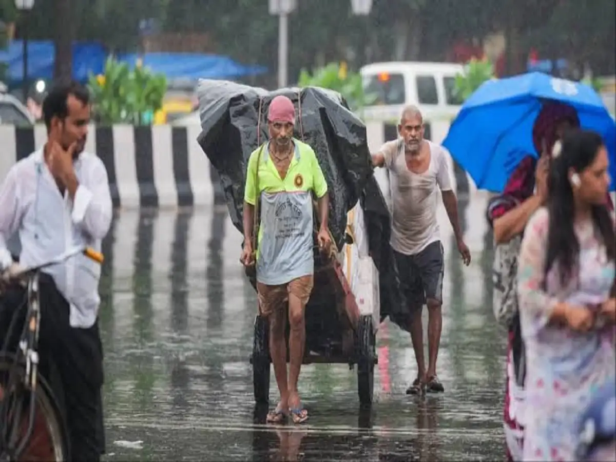
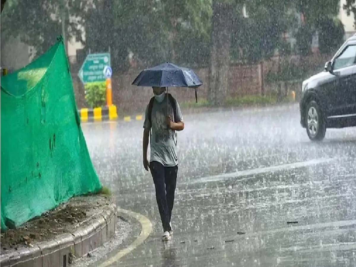
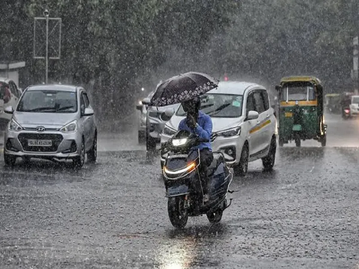
India’s active monsoon spell is expected to continue on Thursday, September 3, with heavy rain, thunderstorms and strong winds forecast across a large part of the country. The weather outlook indicates potentially difficult conditions in several northern, eastern, central, western and southern states.
According to the forecast, as many as 19 states and Union Territories could experience heavy rainfall and thunderstorms. Wind speeds may become particularly strong in some regions, while hill states could face an increased risk of landslides.
The affected areas include Delhi, Uttar Pradesh, Bihar, Rajasthan, Uttarakhand, Punjab, Himachal Pradesh, Jammu and Kashmir, Madhya Pradesh, Chhattisgarh, Odisha, West Bengal, Gujarat, Maharashtra, Tripura, Assam, Kerala, Tamil Nadu and Telangana.
People planning road journeys, especially through areas prone to waterlogging or landslides, should keep track of local weather conditions before leaving home.
Heavy Rain Warning Across 19 States
The September 3 forecast points to widespread unsettled weather across India.
Heavy rain could be accompanied by thunderstorms and strong winds, with gusts reaching around 65 kmph in some areas.
Agricultural activity may also be affected if intense rainfall and strong winds occur simultaneously.
The forecast further indicates a risk of lightning in parts of eastern India, while people in vulnerable mountainous regions have been warned about possible landslides.
Weather conditions along coastal areas could also become difficult, making it important for fishermen to follow official marine advisories.
Delhi May See Heavy Rain and Thunderstorms
Delhi is expected to experience another wet day on September 3.
Heavy rainfall accompanied by thunderstorms has been forecast for the national capital, with winds potentially reaching 30-40 kmph.
The maximum temperature is expected to remain around 31°C, while the minimum could settle near 26°C.
Periods of intense rain could lead to temporary waterlogging and slower traffic in vulnerable areas.
Commuters should therefore consider weather and traffic conditions before beginning their journeys.
Uttar Pradesh: Several Districts Under Rain Alert
A number of districts in Uttar Pradesh could experience rain and thunderstorms.
Areas mentioned in the forecast include Ghaziabad, Meerut, Muzaffarnagar, Moradabad, Gautam Buddha Nagar, Agra, Aligarh, Rae Bareli, Unnao, Etawah, Hamirpur, Amethi, Sultanpur, Azamgarh, Ayodhya, Gorakhpur and Deoria, among others.
Lucknow is expected to record a maximum temperature of around 31°C and a minimum of approximately 27°C.
Residents in areas experiencing thunderstorms should avoid unnecessary exposure to open spaces during lightning activity.
Bihar Braces for Widespread Rain
Weather conditions are also expected to remain unsettled across Bihar.
Heavy rain and thunderstorms have been forecast in districts including West Champaran, East Champaran, Gaya, Jehanabad, Patna, Bhojpur, Gopalganj, Rohtas, Buxar, Vaishali, Samastipur, Darbhanga, Madhubani, Saharsa, Supaul, Purnia, Kishanganj, Araria, Katihar, Bhagalpur, Munger, Khagaria, Lakhisarai and Begusarai.
Patna could record a maximum temperature of around 32°C, with the minimum hovering near 27°C.
Jharkhand May See Rain Through September 3-4
Jharkhand could experience a prolonged spell of unsettled weather covering September 3 and 4.
Heavy rain and thunderstorms are forecast in areas including Deoghar, Jamshedpur, Bokaro, Ranchi, Ramgarh, Khunti, Chatra, Palamu, Dumka, Simdega, Hazaribagh, Dhanbad, Giridih, Gumla, West Singhbhum, Latehar and East Singhbhum.
Ranchi’s daytime temperature could remain around 27°C, while the minimum may be close to 23°C.
Uttarakhand Faces Rain, Wind and Landslide Concerns
The weather situation requires particular attention in Uttarakhand because heavy rainfall in mountainous terrain can increase the risk of landslides and falling debris.
Rain and thunderstorms are forecast in Chamoli, Bageshwar, Haridwar, Nainital, Champawat, Pithoragarh, Rishikesh, Pauri Garhwal, Tehri Garhwal and Uttarkashi.
Strong winds could reach approximately 50 kmph in some places.
Dehradun is expected to record temperatures between roughly 23°C and 28°C.
Travellers heading towards hill destinations should check road conditions before departure.
Himachal Pradesh Could See Strong Thunderstorms
Several districts of Himachal Pradesh are also included in the rain and thunderstorm forecast.
Kullu, Kangra, Kinnaur, Mandi, Una, Chamba, Hamirpur, Bilaspur and Solan could experience difficult weather conditions.
Wind speeds may reach 40-50 kmph.
Manali is expected to remain considerably cooler, with a maximum temperature near 14°C and a minimum around 8°C.
Heavy rainfall in the hills can trigger local landslides, falling rocks and disruption on mountain roads, so travellers should remain cautious.
Jammu and Kashmir: Winds May Reach 60 Kmph
Parts of Jammu and Kashmir could also receive heavy rainfall accompanied by thunderstorms.
The forecast indicates strong winds of up to around 60 kmph in some areas.
Srinagar is expected to record a maximum temperature of approximately 30°C, while the minimum may remain around 18°C.
People travelling through mountainous routes should closely follow local advisories.
Rajasthan Could Face Powerful Winds
Rajasthan is among the states where thunderstorms could become particularly intense on September 3.
Heavy rain and thunderstorms are forecast for areas including Jaisalmer, Jaipur, Jhunjhunu, Sikar, Sawai Madhopur, Churu, Ajmer, Tonk, Bikaner, Bundi, Chittorgarh, Dholpur and Bharatpur.
The forecast indicates that winds could reach around 60-70 kmph in some areas.
Jaipur is expected to record a maximum temperature near 32°C and a minimum of around 25°C.
Strong winds can damage weak structures, branches and trees, so people should avoid standing beneath unstable trees, poles or temporary structures during thunderstorms.
West Bengal May Get Heavy Rain and Gusty Winds
Heavy rainfall and thunderstorms are also forecast across several parts of West Bengal.
Malda, Birbhum, Howrah, Kolkata, Darjeeling, Nadia, Durgapur, Kalimpong, Purulia and Murshidabad are among the locations mentioned in the forecast.
Winds could reach around 55-60 kmph.
Kolkata may see a maximum temperature of approximately 31°C and a minimum of around 26°C.
Punjab Could See Winds Up to 55 Kmph
Parts of Punjab may also experience heavy rainfall and thunderstorms.
The forecast covers areas including Amritsar, Chandigarh, Mansa, Ludhiana, Jalandhar, Patiala, Malerkotla, Pathankot and Kapurthala.
Wind gusts could reach approximately 50-55 kmph.
Residents should remain alert during periods of intense thunderstorms, particularly if lightning activity increases.
Madhya Pradesh Under Rain and Thunderstorm Watch
Several districts in Madhya Pradesh could experience heavy rain and thunderstorms.
Rajgarh, Chhatarpur, Damoh, Umaria, Singrauli, Shivpuri, Sagar, Katni, Betul, Khandwa, Indore, Hoshangabad, Raisen, Morena, Dhar, Harda, Dewas and Ujjain are among the areas covered by the forecast.
Bhopal is expected to record a maximum temperature of around 26°C and a minimum of approximately 23°C.
Chhattisgarh Could See 65 Kmph Wind Gusts
Chhattisgarh may also face heavy rain and stormy conditions.
Balrampur, Surguja, Manendragarh, Surajpur, Raipur, Bilaspur, Dhamtari, Janjgir, Durg, Korba and Mahasamund are among the areas where adverse weather has been forecast.
Wind gusts could reach around 65 kmph in some locations.
Odisha May Experience Heavy Rain and Strong Winds
Odisha is also included in the September 3 heavy rain forecast.
Bhadrak, Jajpur, Keonjhar, Balangir, Nuapada, Bhubaneswar, Sundargarh, Mayurbhanj, Puri and Balasore are among the areas mentioned.
Thunderstorm winds could reach around 60 kmph in some places.
People living in coastal and low-lying areas should pay particular attention to local weather advisories.
September 3 Temperature Forecast for Major Cities
| City | Maximum Temperature | Minimum Temperature |
|---|---|---|
| Delhi | 31°C | 26°C |
| Mumbai | 29°C | 27°C |
| Chennai | 33°C | 27°C |
| Kolkata | 31°C | 26°C |
| Lucknow | 31°C | 27°C |
| Patna | 32°C | 27°C |
| Ranchi | 27°C | 23°C |
| Bhopal | 26°C | 23°C |
| Jaipur | 32°C | 25°C |
| Shimla | 23°C | 18°C |
| Nainital | 22°C | 19°C |
Why Is the Weather Remaining So Active?
The forecast points to weather systems developing over different parts of the country.
Cyclonic circulation is expected around southern Uttar Pradesh and northern Madhya Pradesh, while another circulation is indicated around West Bengal, northern coastal Odisha and Jharkhand.
Moisture-carrying winds from the Bay of Bengal could further support rainfall and thunderstorm activity.
The combined influence of these weather features is expected to maintain active monsoon conditions across several regions.
Travellers Should Exercise Extra Caution
The September 3 forecast is particularly important for people planning long-distance road journeys or trips to mountainous areas.
Heavy rainfall can quickly reduce visibility and create waterlogging on roads.
In hill states, persistent rain can increase the possibility of landslides, falling rocks and temporary road closures.
Travellers should avoid crossing flooded roads or overflowing streams and should follow instructions issued by local administrations.
Lightning Is Another Major Risk
Thunderstorms are not dangerous only because of heavy rain.
Lightning can pose a serious risk, particularly to people working outdoors.
Farmers and other outdoor workers should move to a safe enclosed location when thunderstorms approach and avoid taking shelter beneath isolated trees.
People should also stay away from open fields, water bodies and exposed high points during lightning activity.
Strong Winds Could Damage Trees and Weak Structures
Wind speeds between 50 and 70 kmph can be strong enough to break branches and affect temporary structures.
Areas under a thunderstorm warning should secure loose outdoor objects where possible.
Vehicles should not be parked beneath weak trees, large signboards or unstable structures during severe weather.
Weather Outlook for September 3
The overall forecast suggests that September 3 could be another active monsoon day across India, with rain and thunderstorms extending across a wide geographical area.
While the intensity will not necessarily be the same everywhere, residents in the affected regions should be prepared for sudden downpours, lightning and gusty winds.
Rajasthan could experience some of the strongest winds mentioned in the forecast, potentially reaching around 60-70 kmph, while Chhattisgarh could see gusts near 65 kmph. West Bengal, Punjab, Odisha, Uttarakhand, Himachal Pradesh and Jammu and Kashmir may also experience significant wind activity.
The Bottom Line
Heavy rain and thunderstorms are forecast across 19 states and Union Territories on September 3, 2026, as active monsoon conditions continue over large parts of India.
Delhi, Uttar Pradesh, Bihar, Rajasthan, Uttarakhand, Punjab, Himachal Pradesh, Jammu and Kashmir, Madhya Pradesh, Chhattisgarh, Odisha, West Bengal, Gujarat, Maharashtra, Tripura, Assam, Kerala, Tamil Nadu and Telangana are among the regions mentioned in the forecast.
Strong winds could accompany thunderstorms, with speeds reaching 60-70 kmph in parts of Rajasthan and around 65 kmph in some other regions.
People in vulnerable areas should keep track of official weather warnings, while travellers in hill states should pay special attention to landslide and road-condition advisories.
Disclaimer: Weather conditions can change rapidly and forecasts may be revised. Readers should check the latest official weather bulletin and local administration advisories before travelling or making weather-sensitive plans.