North India: The cold wave continues across much of North India, with heavy snowfall occurring in Kashmir, Himachal Pradesh, and Uttarakhand. According to the Indian Meteorological Department (IMD), temperatures in the region may drop by up to 2°C in the coming days. Fog is expected to clear by January 20, as cloud cover moves eastward. Additionally, rain and snowfall are expected around January 21-22 in Jammu and Kashmir, Himachal Pradesh, and Uttarakhand.

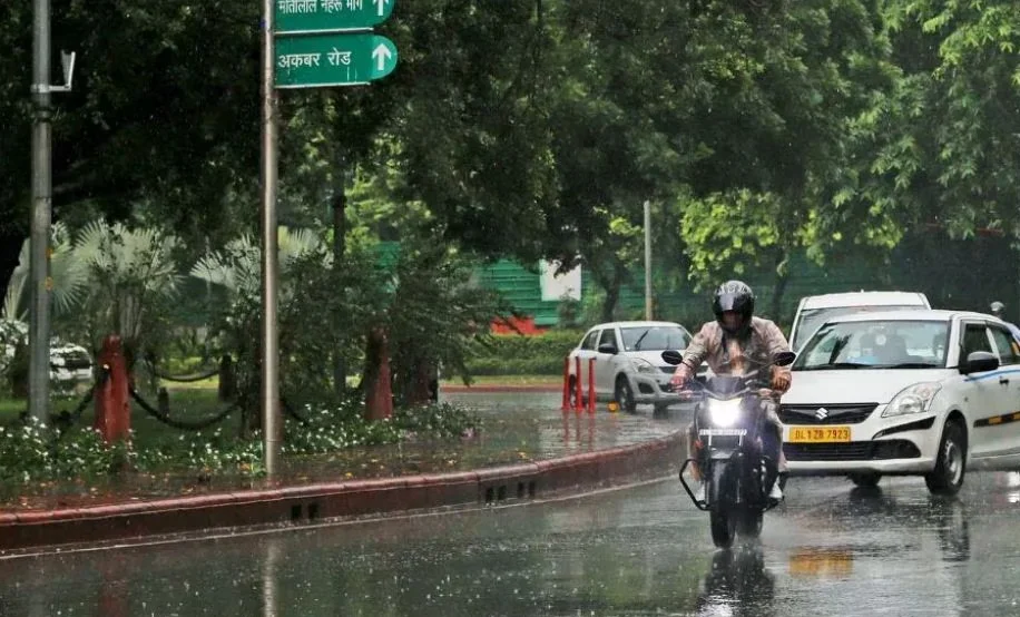
- Delhi NCR: In Delhi NCR, light rain and thunderstorms are forecast for January 22-23, due to the arrival of a Western Disturbance in the region. This disturbance may cause a slight temperature drop of about 1-2°C. However, clear weather is expected on Saturday, January 20. As is typical during this time of year, mist and fog may return in the evenings.
- Pollution in Delhi: The Commission for Air Quality Management (CAQM) has lifted the GRAP-3 restrictions in Delhi following a decrease in pollution levels, which were exacerbated earlier by fog, low temperatures, and slow winds. On January 17, the restrictions under GRAP-4 were also removed. By January 19, strong winds are expected to further reduce pollution, improving air quality.
- Uttar Pradesh: Uttar Pradesh is expected to remain dry for the next few days. However, an orange alert has been issued for dense fog in 20 districts. Meanwhile, 43 districts have been issued a yellow alert for fog. The IMD has also predicted light rain in parts of Uttar Pradesh between January 20-24.
- Bihar: Like Uttar Pradesh, Bihar is likely to experience fog in most of its districts over the weekend (January 20-21).
In summary, the weather is expected to remain chilly across North India, with potential rain and snowfall in the hilly states. Delhi's air quality is improving, and Uttar Pradesh and Bihar will experience foggy conditions.