NEWS
Google Maps Live Location Accuracy: How Precise Is It and Why Can the Location Sometimes Be Wrong?
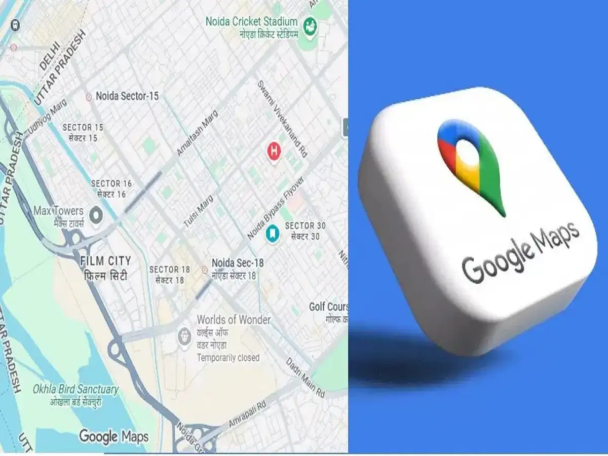
Google Maps has become an everyday navigation tool for millions of smartphone users. Whether you are trying to reach an unfamiliar address, meet someone at a crowded location or allow friends and family to follow your journey, location-sharing features can make the process much easier.
However, users may occasionally notice something unusual while checking a shared live location. The person may appear a few metres away from where they actually are, the location marker may suddenly move, or updates may arrive with a slight delay.
This raises an obvious question: How accurate is the live location shown on Google Maps?
The answer depends on several factors. Your smartphone does not necessarily rely on a single technology to determine where you are. GPS, Wi-Fi networks, mobile towers, phone sensors, location settings and the surrounding environment can all influence location accuracy.
GPS Plays a Major Role in Determining Your Location
GPS, or Global Positioning System, is one of the primary technologies smartphones use to calculate location.
When your phone has a clear view of the sky and can receive strong satellite signals, location accuracy is generally better. This is why Google Maps may appear particularly accurate when you are outdoors in an open area.
However, GPS signals can become less reliable when physical structures interfere with them.
Tall buildings, tunnels, underground areas and even being deep inside a large building can reduce the phone's ability to communicate effectively with satellites.
As a result, the location marker displayed on the map may not perfectly match the person's actual position.
Google Maps Does Not Depend Only on GPS
A common misconception is that smartphones determine location exclusively through GPS satellites.
Modern phones can combine information from multiple sources to estimate a user's position. Depending on the device, settings and availability, this can include GPS, nearby Wi-Fi networks, mobile network information and device sensors.
Using multiple sources can help the phone estimate its location when a strong GPS signal is unavailable.
For example, if you are inside a shopping mall where satellite reception is weak, nearby Wi-Fi and other network information may help the device estimate where you are.
However, an estimated location may not always be as precise as a strong outdoor GPS reading.
Why Does Live Location Sometimes Appear Ahead or Behind?
Suppose a friend is travelling on a road and has shared their live location with you. You may occasionally see their marker slightly ahead of or behind their actual position.
This does not automatically indicate a problem with Google Maps.
Location sharing depends on the phone first determining its position and then transmitting updated information over an internet connection. Changes in GPS reception, network connectivity and the frequency of location updates can therefore create a temporary difference between the map marker and the person's actual position.
If someone is moving quickly in a vehicle, even a short delay in updating the location can make the marker appear farther behind than expected.
Places Where Location Accuracy Can Be Lower
Certain surroundings are more likely to interfere with location accuracy.
Inside buildings: Walls, roofs and other structures can weaken satellite signals, making precise GPS positioning more difficult.
Basements and underground locations: GPS signals may become extremely weak or unavailable underground.
Areas surrounded by tall buildings: In dense urban areas, satellite signals can be blocked or reflected by buildings, potentially reducing positioning accuracy.
Tunnels: GPS reception can be temporarily lost while travelling through a tunnel, forcing the phone to rely on other information until satellite signals become available again.
Areas with poor network connectivity: A weak internet connection may affect how quickly updated live-location information is transmitted to the person viewing it.
What Does the Blue Circle Around Your Location Mean?
Google Maps may sometimes display a blue dot along with a larger light-coloured circle around it.
The dot represents the phone's estimated position, while the surrounding circle provides an indication of the area within which the device believes the actual location may fall.
A relatively small circle generally suggests better location confidence. A much larger circle can indicate that the phone is having difficulty determining the precise position.
Therefore, users should pay attention not only to the location marker but also to the accuracy indicator shown around it.
Can Phone Settings Affect Google Maps Accuracy?
Yes. Location-related settings on the smartphone can influence the quality of positioning information available to apps.
If location services are disabled, restricted or configured in a way that limits precise positioning, Google Maps may not receive the information needed to provide the best possible accuracy.
Battery-saving features can also sometimes restrict background activity. This may affect how frequently a live location is refreshed, particularly when the Maps app is not actively open on the screen.
Keeping appropriate location permissions enabled can help improve the experience when accurate navigation or live-location sharing is required.
Can You Trust Google Maps Live Location Completely?
Google Maps Live Location is useful for understanding someone's approximate real-time position and following their movement, but users should not assume that the displayed marker is guaranteed to be accurate to the exact metre at every moment.
Under favourable conditions—such as being outdoors with good satellite reception and reliable connectivity—the displayed position can be highly accurate.
In challenging environments, however, the difference may become more noticeable.
If you are trying to meet someone in a crowded market, large building, railway station, parking area or similar location, it can be useful to supplement live location with a clear landmark, shop name, gate number or another easily identifiable meeting point.
Live Location Is Useful, but Accuracy Depends on Conditions
Google Maps combines multiple technologies to provide a practical estimate of a smartphone's location. GPS is particularly important, but Wi-Fi, mobile networks, sensors, internet connectivity and surrounding structures can all affect the result.
This explains why a live location may look extremely precise in an open outdoor area but appear several metres away from the actual position inside a building or among tall structures.
So, while Google Maps Live Location is a valuable navigation and location-sharing feature, it should be viewed as a real-time location estimate rather than a guaranteed pinpoint position in every situation.