weather forecast
Weather Alert Today: Rain and Strong Winds Forecast Across Several States, Check Delhi, UP and Rajasthan Update
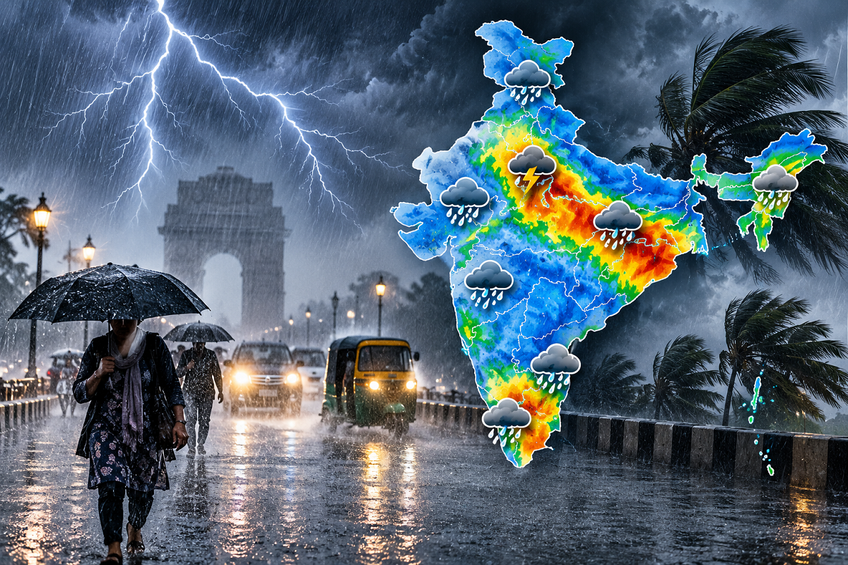
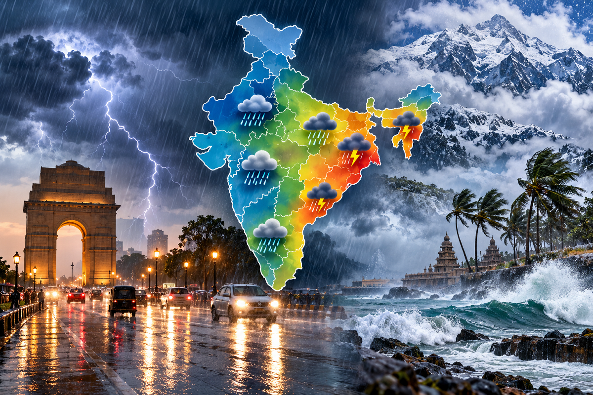
Weather Update Today, September 30, 2026: Rain, thunderstorms and gusty winds could affect several parts of India on Wednesday as active weather systems continue to influence conditions across different regions. The weather report cited in the source flags rain or storm-related conditions across 22 states and Union Territories, including Uttar Pradesh, Bihar, Rajasthan and Delhi.
Some areas could experience strong winds, while the supplied forecast indicates that wind speeds may become particularly high at isolated locations. Residents have been advised to follow the latest local weather warnings because thunderstorm intensity and rainfall can vary considerably even within the same state.
The India Meteorological Department's latest material also indicates continuing rainfall activity over parts of the country, including isolated heavy rainfall over south Peninsular India.
Rain and Thunderstorm Conditions Flagged Across 22 States
According to the supplied weather report, rain, thunderstorms or strong winds could affect parts of the following 22 states and Union Territories:
Uttar Pradesh, Bihar, Delhi, Himachal Pradesh, Uttarakhand, Punjab, Rajasthan, Jammu and Kashmir, Ladakh, Jharkhand, West Bengal, Odisha, Chhattisgarh, Madhya Pradesh, Kerala, Assam, Andhra Pradesh, Telangana, Tamil Nadu, Sikkim, Meghalaya and Arunachal Pradesh.
The intensity of the weather will not necessarily be the same across all these regions.
The report suggests that winds could reach around 65–70 kmph at some isolated locations, while some parts of Rajasthan could experience even stronger gusts.
Such wind-speed projections should be treated as location-specific forecast conditions rather than a blanket warning that every part of these states will experience winds of that intensity.
Delhi Weather: Rain and Gusty Winds Possible
Delhi could experience changing weather conditions on September 30, with the supplied forecast indicating a possibility of rain accompanied by winds.
The report projects wind speeds of around 20–30 kmph in parts of the national capital.
The temperatures cited for Delhi are:
Maximum temperature: around 33°C
Minimum temperature: around 22°C
Rain and cloud cover could also provide some relief from warmer conditions, with the source suggesting that temperatures could decline by around 2–3 degrees in affected areas.
IMD's Delhi-NCR service was showing temperatures around 30°C at New Delhi in the latest available observations, although actual conditions differ across stations within the region.
Residents should keep track of short-duration thunderstorm and nowcast warnings because conditions can change rapidly.
Uttar Pradesh Weather: Several Districts Could See Rain
Parts of Uttar Pradesh could also experience unsettled weather.
According to the supplied report, districts where rain and thunderstorm conditions may develop include Meerut, Ghaziabad, Aligarh, Muzaffarnagar, Agra, Mathura, Kanpur, Bahraich, Balrampur, Shravasti, Maharajganj, Siddharthnagar, Pilibhit, Lakhimpur, Saharanpur, Bijnor, Moradabad, Rampur, Bareilly and Gorakhpur.
Winds of around 20–30 kmph have also been indicated for some affected locations.
For Lucknow, the source gives a maximum temperature of around 32°C and a minimum of approximately 23°C for September 30.
Actual rainfall can remain highly localised during thunderstorm activity, so residents should not assume that every district under a broad warning will receive heavy rainfall.
Rajasthan Weather: Jaipur, Ajmer, Udaipur and Other Districts in Focus
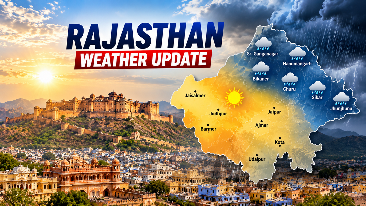
Rajasthan is another state where the supplied forecast flags rain and thunderstorms.
Areas mentioned include Jaipur, Sawai Madhopur, Bharatpur, Bhilwara, Bundi, Bikaner, Ajmer, Sikar, Pali and Udaipur.
The source also indicates the possibility of very strong winds, potentially reaching 70–80 kmph in isolated parts of the state.
Such gusts can pose a risk to temporary structures, weak trees, loose objects and outdoor hoardings.
For Jaipur, the temperatures cited in the report are:
Maximum temperature: around 33°C
Minimum temperature: around 22°C
IMD's Jaipur Meteorological Centre provides district-wise warnings and nowcasts, which are more appropriate for checking immediate local conditions than relying only on a broad state-level forecast.
Farmers Should Keep an Eye on Short-Term Warnings
Rain accompanied by strong winds can affect both standing and recently harvested crops.
Farmers in areas under a thunderstorm or heavy-rain warning should therefore follow district-level advisories and, where practical, protect harvested produce and agricultural material left in exposed areas.
Strong winds can damage crops even when rainfall totals themselves are not extreme.
Lightning is another significant concern for people working outdoors.
Farm workers should avoid sheltering directly beneath isolated trees during thunderstorms and move to a safer structure when lightning activity develops nearby.
Strong Winds Can Create Additional Risks
A thunderstorm warning is not only about rainfall.
Power lines, weak trees, temporary sheds, construction material and large outdoor advertising structures can become hazardous during strong wind gusts.
Vehicles should not be parked directly below weak trees or unstable structures when severe weather is expected.
People in open areas should also seek safe shelter during lightning rather than remaining in fields or other exposed locations.
In hilly regions, prolonged or intense rainfall can increase the possibility of landslides and falling debris along vulnerable roads.
Travellers should therefore check local traffic and weather advisories before entering sensitive mountain routes during bad weather.
Why Is the Weather Still Active at the End of September?
Late-September weather can remain active even as the southwest monsoon season approaches its final phase.
Cyclonic circulations, low-pressure systems, moisture from surrounding seas and other atmospheric features can continue to produce thunderstorms and rainfall across different regions.
IMD's September 29 national material specifically highlighted continuing rainfall activity and isolated heavy rainfall over parts of south Peninsular India.
Weather conditions can also change quickly when thunderstorms develop, making short-range warnings and district-level nowcasts particularly important.
Don't Treat a 10-Hour Forecast as a Guarantee of Heavy Rain
The supplied report describes the alert in terms of weather expected over the next several hours. Such short-duration forecasts should be understood as warnings about the possibility and risk of severe weather, not a guarantee that every listed city will experience heavy rainfall.
A state-level alert can cover a very large geographic area while the strongest thunderstorm affects only a few districts.
Similarly, a city can receive intense rainfall in one neighbourhood while another area records relatively little rain.
For this reason, residents should check the latest district or city-level warning before travelling.
Safety Measures During Rain, Thunderstorms and Lightning
People in areas facing strong thunderstorms should avoid unnecessary exposure during the most intense period. Stay away from trees, electricity poles, unstable hoardings and unfinished structures when strong winds develop.
During lightning, avoid open fields and exposed high ground. If travelling through a mountainous area, check for landslide-related restrictions and road closures.
Farmers and outdoor workers should pay particular attention to rapidly changing conditions because lightning and strong gusts can develop before heavy rainfall reaches a location.
Check the Latest IMD Alert Before Leaving Home
Weather conditions on September 30 could remain unsettled across several regions, with the supplied forecast highlighting parts of Delhi, Uttar Pradesh, Rajasthan and several eastern, northeastern and southern states.
However, rainfall intensity, wind speed and thunderstorm development can differ substantially from one district to another.
Residents should therefore use broad forecasts as an early warning and rely on the latest IMD district-level forecast, nowcast and local administration advisory for immediate decisions.
The key message is not that all 22 listed states will definitely experience heavy rain simultaneously, but that parts of these regions could face rain, thunderstorms, lightning or gusty winds and should remain prepared for changing conditions.